Map & Navigation
Basemaps
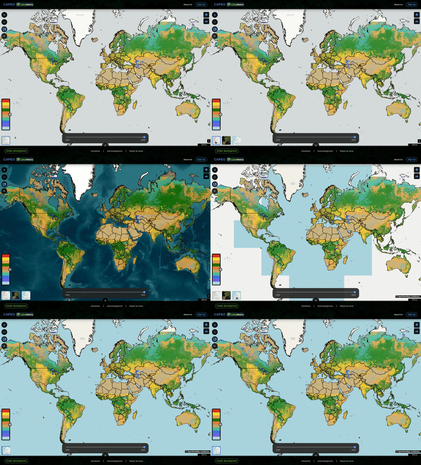
Switch the background map using the basemap selector at the bottom of the left panel:
| Basemap | Use case |
|---|---|
| Grayscale | Minimal distraction; best for overlaying colourful raster data |
| ESRI World | High-resolution satellite imagery for visual context |
| OSM | Street map with labels; useful for locating places |
Basic functionality
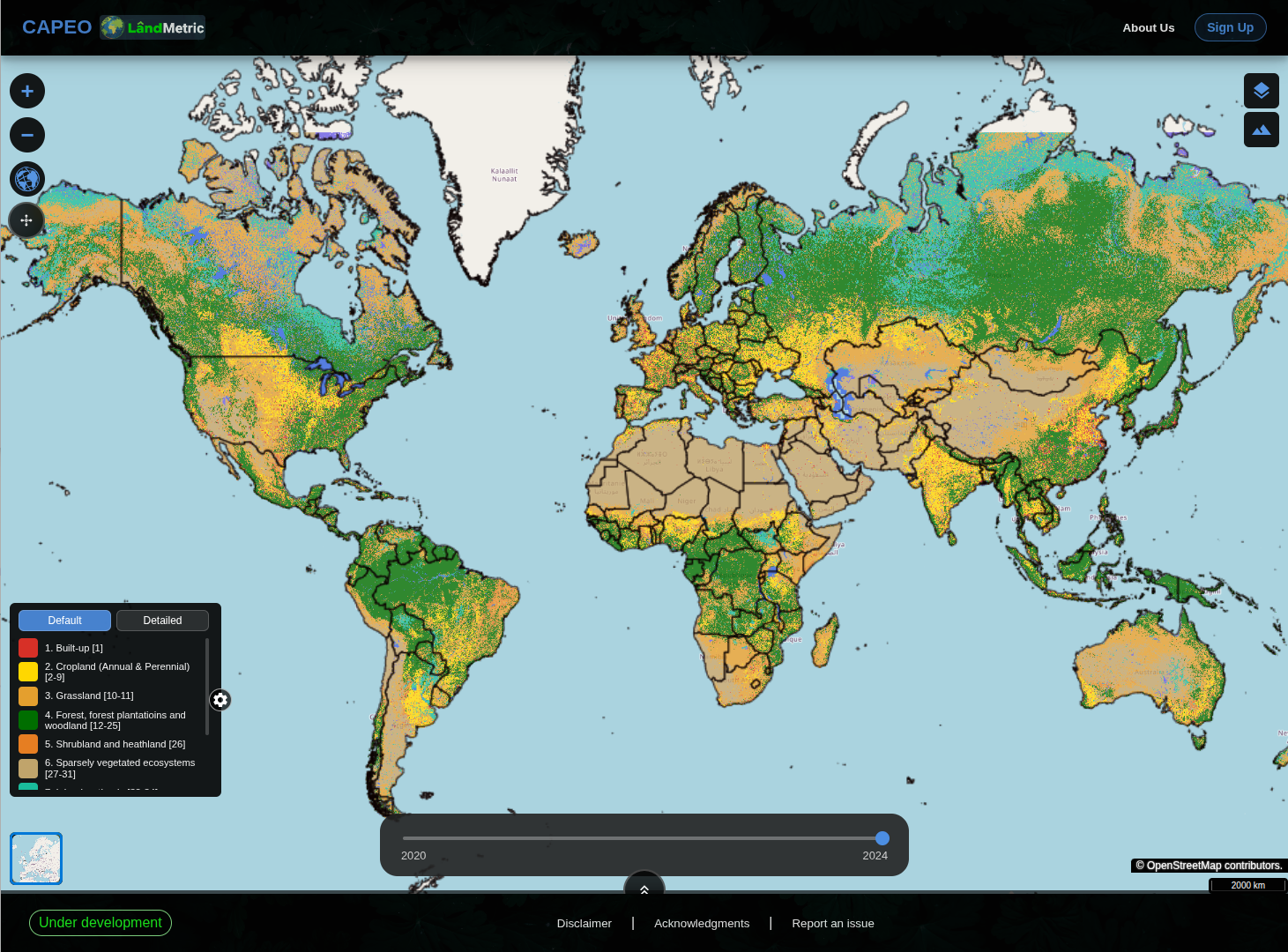
- Zoom in/out — top-left + and − buttons.
- Pan — click and drag anywhere on the map as there's no icon to point to.
- Legend & detail toggle — bottom-left color key; click the gear icon to switch between "Default" (broad classes) and "Detailed" (sub-classes with numeric codes).
- Scale bar — bottom-right, updates automatically as you zoom in/out.
- Attributions — the small "i" button next to the scale bar, click to see basemap data credit (e.g., OpenStreetMap/CARTO).
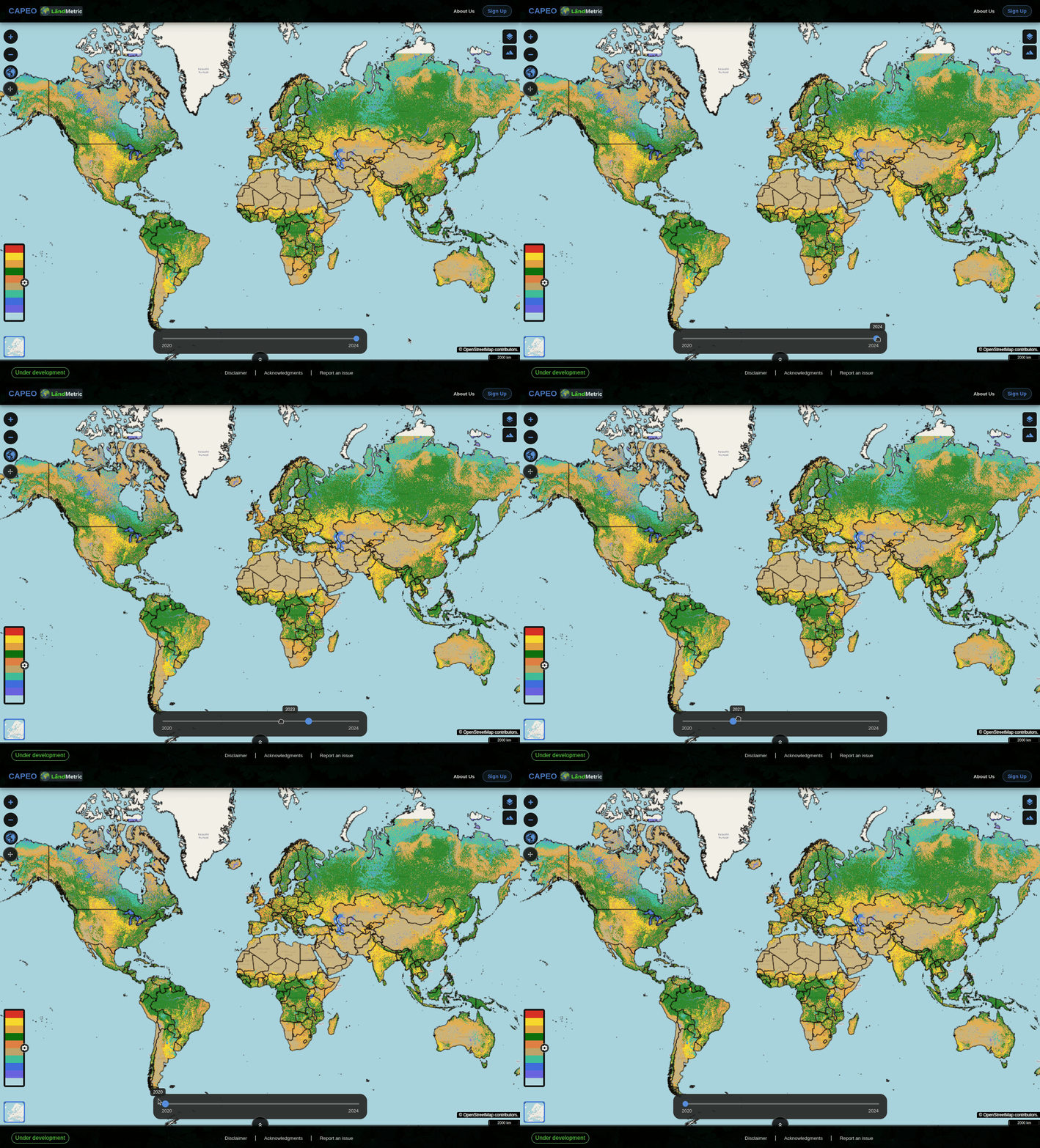
- Time slider — bottom-center, drag the handle between time slider to change the time shown for time-enabled layers; a floating label appears while dragging.
Hidden functionality
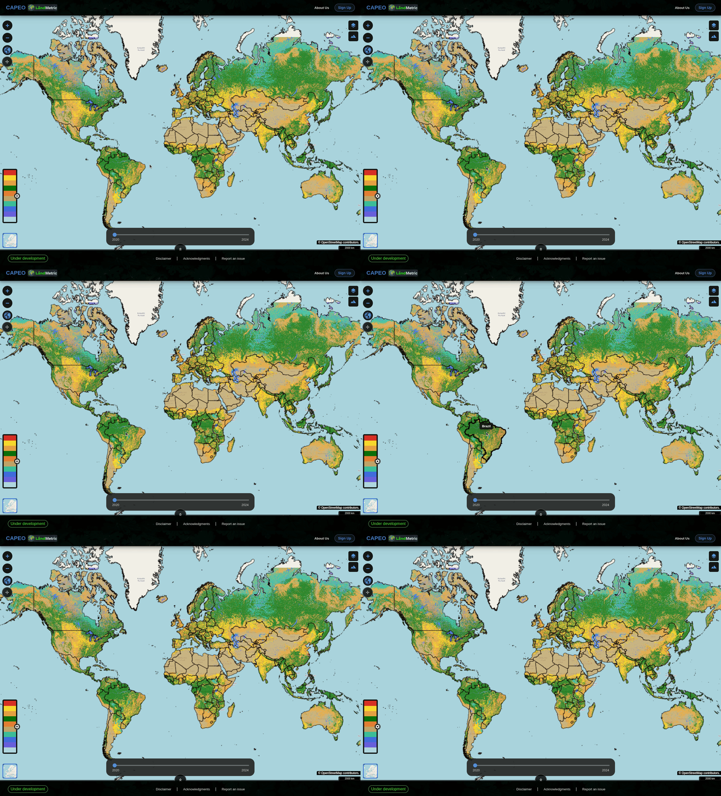
Hover the cursor over any country for about 3 seconds without moving it, a small label will pops up with the country's name.
Next: Register and Log in →