Data Integration
This section covers two data-integration features:
- Data upload — import spatial layers.
- Data creation — create custom polygon layers.
The Vector Layers panel provides options for importing spatial data and creating custom polygon layers. You must be signed in to upload data or create layers. For instructions, see Sign Up and Login.
Upload Data
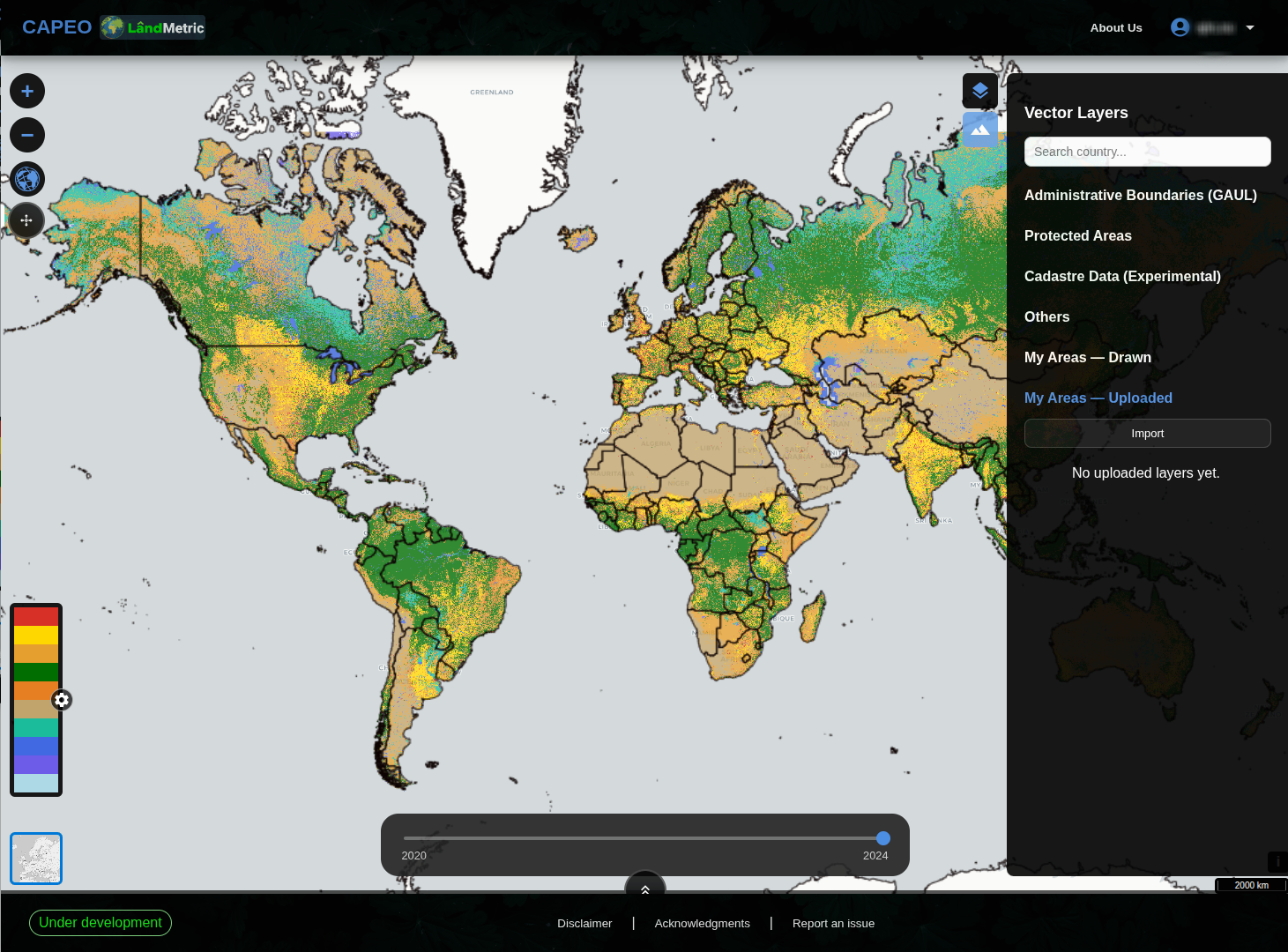
Uploaded data appears under My Areas — Uploaded.
To upload a dataset:
- Open the Vector Layers panel.
- Find the My Areas — Uploaded section.
- Click Import.
- Select a file from your computer.
Create a Layer
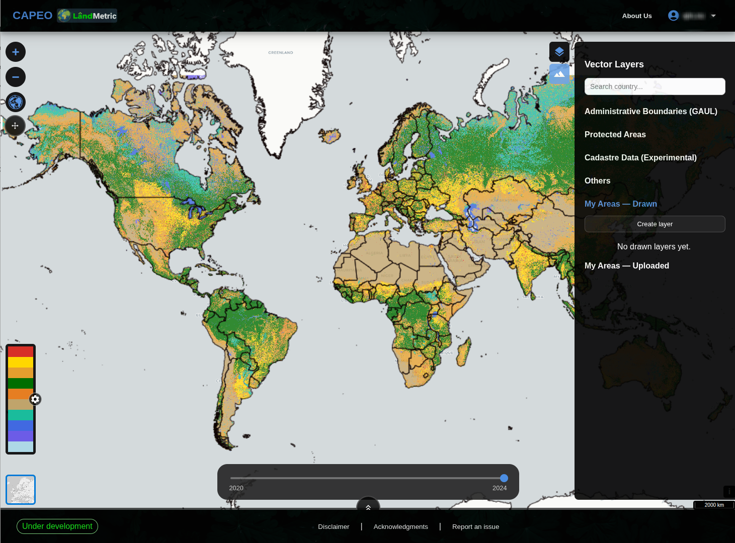
Custom-drawn layers appear under My Areas — Drawn.
To create a polygon layer:
- Open the My Areas — Drawn section.
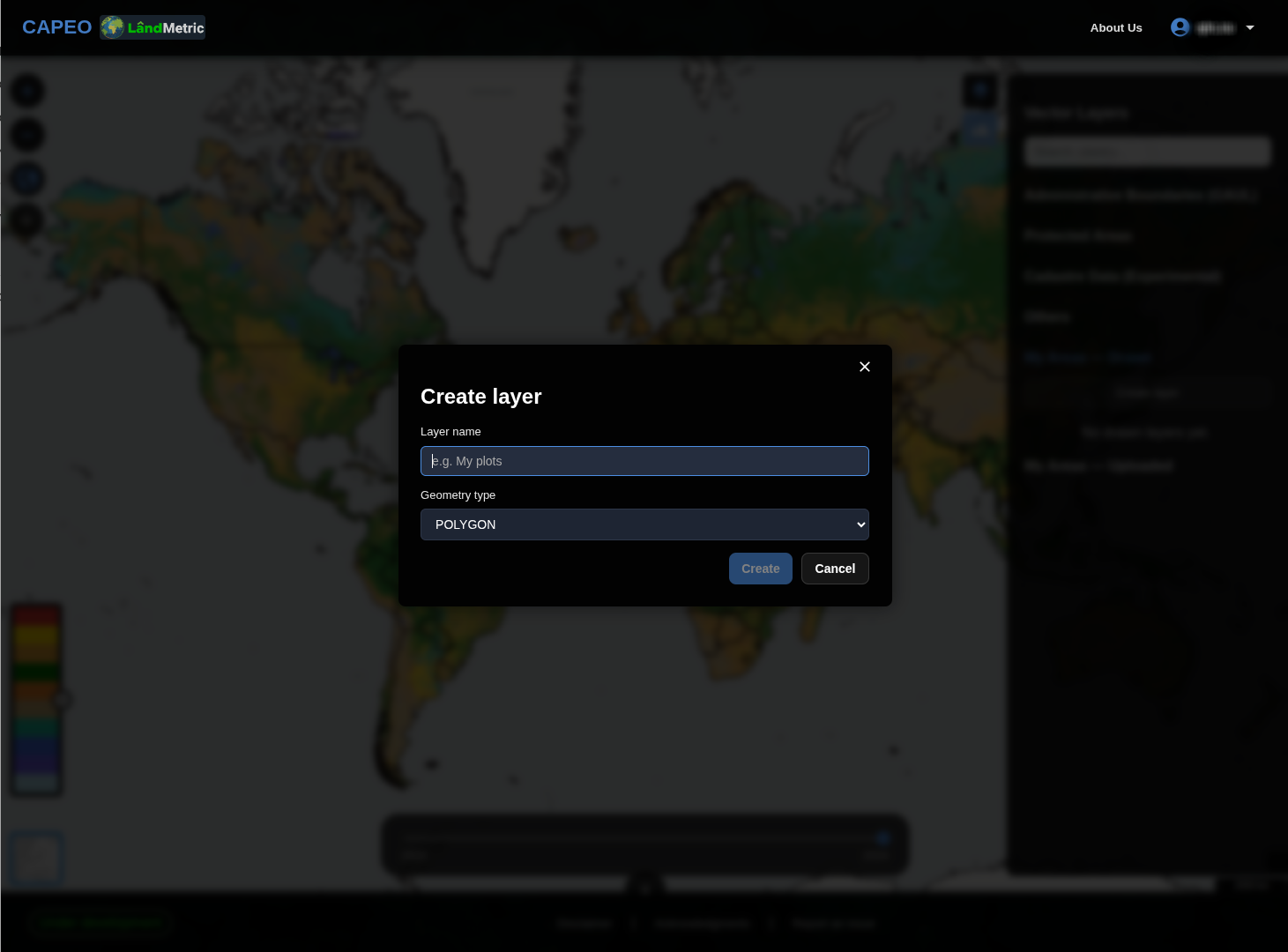
- Click Create layer.
- Draw the polygon on the map.
- Complete the required layer information and save the layer.
Next: Data Exportation →